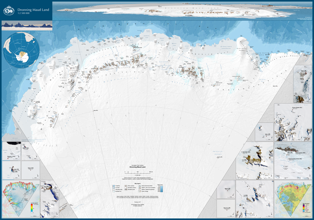
 The Norwegian Polar Institute (NPI) has recently published a new map of Dronning Maud Land at scale 1:2,500,000 and of physical size 100×70 cm.
The map can be downloaded as a PDF for free, or purchased from the NPI directly. For more info and downloads, please visit NPI Topographic maps of Antarctica.