a compilation of the best international topographic mapping for Antarctica at scales between 1:250,000 and 1:10 M that can be viewed on a range of vector and satellite image backdrops. The underlying data can be downloaded free of charge in a range of formats for onward work in desktop GIS.
a searchable database of all Antarctic place-names from each country active in Antarctica including the names of features south of 60° S, both terrestrial and undersea or under-ice.
a catalogue of international maps for Antarctica, compiled and maintained by the Australian Antarctic Division Data Centre, containing entries for over 5000 hard-copy maps from 26 countries, and around 1000 digital maps from five countries.
a digital database of all existing near-surface and satellite magnetic anomaly data collected in Antarctica and surrounding oceans south of 60° S.
a series of maps at 1:1M scale, together with a continent over-view map, to support Air Operations planning. The maps are compiled collaboratively by Belgium (in cooperation with Australia), Norway, the UK and USA. The maps and digital data are freely available for download.
a new suite of gridded products describing surface elevation, ice-thickness and the sea floor and subglacial bed elevation of the Antarctic south of 60° S.
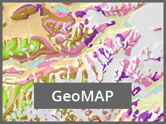
a collection of datasets comprising geological information for Antarctica, with both rock and surficial deposit information, gathered from existing mapping of the geology of the region and compiled it into a modern GIS framework.
an enhanced digital database that contains bathymetric data available south of 60° S latitude used to produce a consistent bathymetric chart of the Southern Ocean.
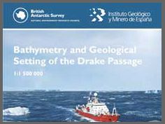
A new map covering an area of 1470000 km2 between parallels 52ºS and 63ºS and between meridians 70ºW and 50ºW, where the high resolution bathymetric data covers more than 70% of the region with a 200 m cell resolution of the sea floor topography.
a downloadable collection of Antarctic geographical datasets which works with the free, open-source software QGIS and currently includes geography, glaciology and geophysics data, and will expand with contributions from the research community.


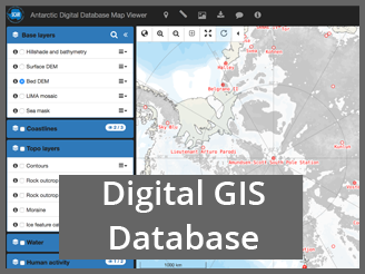 ADD – Antarctic Digital Database
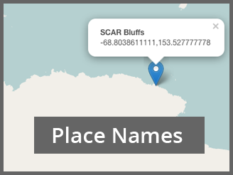 Composite Gazetteer of Antarctica (CGA
 Antarctic Map Catalogue
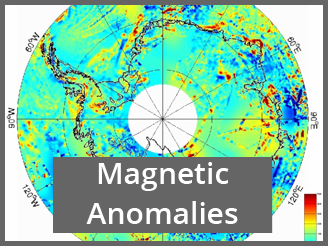 ADMAP – Antarctic Digital Magnetic Anomaly Project
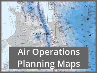 Air Operations Planning Maps
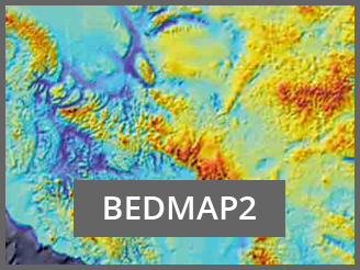 BEDMAP2 – Antarctic Bedrock Mapping
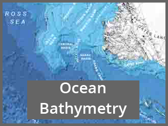 International Bathymetric Chart of the Southern Ocean (IBCSO)
 Quantarctica