 The Antarctic continent and surrounding oceans are key parts of the Earth System through the entire history of the Earth. The basement core of Antarctica comprises a suite of crustal blocks that were parts of various supercontinents (e.g. Rodinia, Gondwana). Their outcrops provide important insights into Earth processes. Sedimentary records on and around Antarctica also provide important insights into the history and natural variability of the earth’s environments. The geological record can provide key insights into the evolution and processes of change in the Antarctic environment and the biota dependent on it. The geology of the ice sheet bed strongly influences ice behaviour and the development of the ice sheet from its inception. Geodetic and geophysical observatories can furnish a fundamental contribution to the study of geodynamics processes across the continent. The challenge of the next phase of Antarctic science will be to integrate all branches of science into a holistic understanding of Antarctica and its trajectory of change.
GeoSciences
Geoscience Scientific Research Programmes
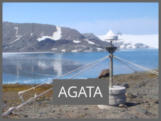 Antarctic Geospace and ATmosphere reseArch (AGATA)
AGATA will be a coordinated, worldwide effort to monitor, investigate and better understand the physics of the polar atmosphere and the impact of the Sun-Earth interactions on the polar regions. Taking advantage of existing and planned instrumentation in Antarctica, but also in the Arctic and satellite-based observations, and it will aim for coordinated research efforts and data exchange.
Integrated Science to Inform Antarctic and Southern Ocean Conservation (Ant-ICON)
The Ant-ICON SRP will answer fundamental science questions (as identified by the SCAR Horizon Scan), relating to the conservation and management of Antarctica and the Southern Ocean and focus on research to drive and inform international decision-making and policy change.
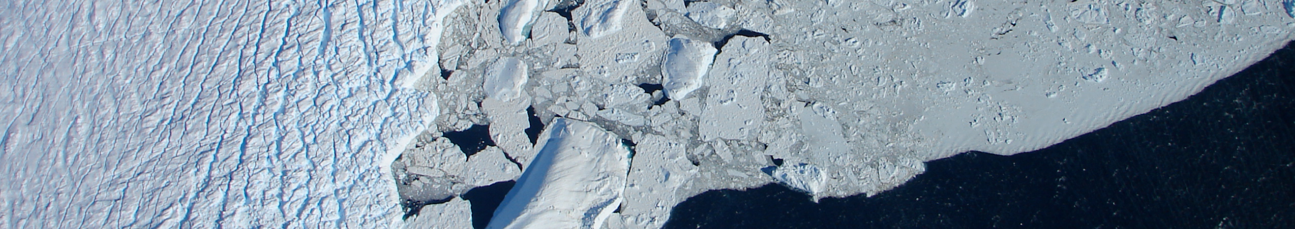
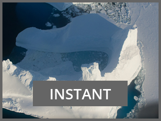 INStabilities and Thresholds in ANTarctica (INSTANT)
The INSTANT SRP will address a first-order question about Antarctica’s contribution to sea level. It encompasses geoscience, physical sciences and biological sciences, of the way in which interactions between the ocean, atmosphere and cryosphere have influenced ice-sheets in the past, and what expectations will be in the future with a special focus on quantifying the contributions to global sea level change. They aim to quantify the Antarctic ice sheet’s contribution to past and future global sea-level change.
For previous Geoscience SRPs, see Former Research Programmes.
Geoscience Action and Expert Groups
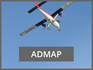 Antarctic Digital Magnetic Anomaly Map Project – ADMAP
This Expert Group aims to compile and integrate all existing Antarctic near-surface and satellite magnetic anomaly data into a digital database.
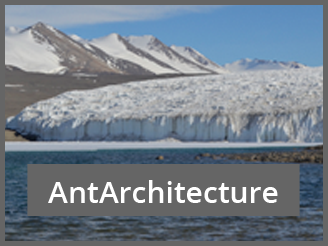 AntArchitecture Action Group
This Action Group aims to develop a continent‐wide, age‐depth model of Antarctica’s ice using the internal layers and surfaces imaged by radar‐sounding and use this to determine the stability of the Antarctic Ice Sheets over past glacial cycles.
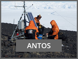 Antarctic Near-shore and Terrestrial Observing System – ANTOS
This Expert Group aims to establish a biologically focussed, integrated and coordinated Antarctic-wide observation system, to identify and track environmental variability and change at biologically relevant scales, and to use this information to inform biological, physical, and earth science studies. This group is co-sponsored by SCAR’s Life Sciences, Physical Sciences and Geosciences Groups.
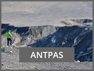 Antarctic Permafrost, Soils and Periglacial Environments – ANTPAS
This Expert Group aims to develop an internationally coordinated, web-accessible database and monitoring system on Antarctic permafrost and soils.
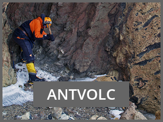 Antarctic Volcanism – AntVolc
This Expert Group aims to promote the study of Antarctic volcanism, facilitate regional correlations and work towards establishing Antarctica as a high profile site for studying volcanic processes, especially but not solely petrology and glaciovolcanism.
 Geological Heritage and Geoconservation – EG-GEOCON
This Expert Group aims to advance the identification of Antarctic geological sites of exceptional value to be designated geological heritage of international relevance, and to contribute to SCAR advice to the CEP and the ATCM on matters related to conservation of geological heritage.
 Geodetic Infrastructure of Antarctica – GIANT
This Expert Group aims to oversee the development of geodetic infrastructure across the Antarctic Continent to facilitate the monitoring of its physical processes and help coordinate various infrastructure associated with earth monitoring techniques such as the Global Navigation Satellite System (GNSS) and gravity meters, as well as the installation of tide gauges to monitor sea level change.
Groundwater Action Group
Groundwater plays a key role in critical Antarctic climate, environmental and biological processes. Despite this importance, many concepts are still hypothetical, awareness is low, and direct observations are limited. The aim of this Action Group is to bring the international scientific communities together to better address this cross-disciplinary topic.
 International Bathymetric Chart of the Southern Ocean – IBCSO
This Expert Group aims to design and implement an enhanced digital database that contains bathymetric data available south of 60S latitude, leading to the design of a consistent bathymetric chart of the Southern Ocean.
 International Collaboration Effort for Improving Paleoclimate Research (ICEPRO)
This Action Group aims to improve our understanding of past ocean-ice-earth interactions by linking modern observations and paleo-records by facilitating transnational collaborations on (paleo)environmental studies in the Southern Ocean.
 RINGS – ice sheet margin
This Action Group aims to clarify the current knowledge gap on ice sheet thickness across all the margins of Antarctica and assess the impacts of new data filling these knowledge gaps.
For previous Geoscience Action and Expert Groups, see Former Groups.