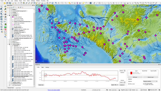
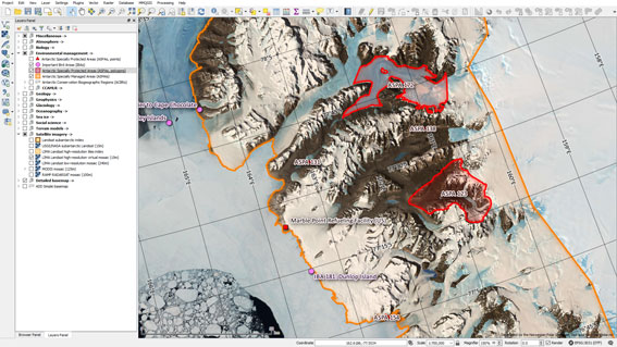
 The Norwegian Polar Institute is proud to announce the release of Quantarctica 3, the latest version of its free, cross-platform compilation of GIS software and high-quality Antarctic scientific data.
Quantarctica 3, designated a SCAR Product in 2014, is the result of a two-year dedicated development effort. Thanks to the work of the Quantarctica Project Team, Editorial Board, and feedback from hundreds of Antarctic researchers around the world, this version is Quantarctica’s biggest release yet, adding:
- Eight new themes with over 50 new datasets in over 100 new layers: Atmospheric Science, Biology, Environmental Management, Geology, Ice Cores, Oceanography, Sea Ice, and Social Science;
- New additions and updates to the pre-existing Geophysics and Glaciology categories;
- The Quantarctica Data Catalog (http://quantarctica.npolar.no/data-catalog), where you can view preview images, metadata, and citation information for every dataset;
- Northward expansion of Quantarctica’s project boundary to 40°S, including subantarctic islands;
- Improved and expanded basemap, terrain, and satellite imagery layers;
- Updates, resolution improvements, and stability enhancements to datasets from v1 and v2;
- New features in QGIS and significant enhancements to project stability, speed, and usability.
 Visit the Quantarctic website to download the latest version. And please consider sharing the news and your own Quantarctica-made creations on social media- #quantarctica, #qgis , and @norskpolar are good things to tag!
If you have any questions, comments, bug reports, or good-looking maps, please email the team at [email protected].
Quantarctica was developed with the feedback, assistance, and experience of numerous researchers thanks to SCAR’s coordination and vision. Quantarctica is made for and by the Antarctic community – we could not have created this new version without you. We look forward to seeing Quantarctica in use on the ice and in many figures in the years to come!
