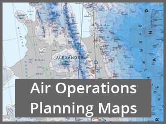
 The Air Operations Planning Maps are SCAGI products. A series of maps at 1:1M scale, together with a continent over-view map, to support Air Operations planning. The maps are compiled collaboratively by SCAGI members under a joint SCAGI project. The maps are freely available through the SCAR map catalogue.
- Map 00: SCAGI Air Operations Planning Maps Index
- MAP 01: Graham Land
- MAP 02: Rothera to Sky-Blu
- MAP 03: Sky-Blu to Ellsworth Mountains
- MAP 04: Pine Island Bay
- MAP 05: Sky-Blu to Pine Island
- MAP 06: Pensacola Mountains to South Pole
- MAP 07: East Ronne Ice Shelf to Halley
- MAP 08: Aboa to Novolazarevskaya
- MAP 09: Novolazarevskaya to Syowa
- MAP 10: Syowa to Mawson
- Map 11: Amundsen Sea
- Map 12: Ellsworth Mountains
- Map 13: Marie Byrd Land
- Map 14: South Pole
- Map 15: Ross Ice Shelf
- Map 16: Victoria Land
For queries on the Air Operations Planning Maps, please contact Elena Field.
